
Canada’s political landscape is as vast and diverse as its breathtaking scenery. From the bustling streets of Toronto to the serene shores of Vancouver, understanding the political map of Canada is like trying to assemble a jigsaw puzzle where the pieces keep changing shape. It’s a wild ride that showcases the country’s provinces and territories, each with its own unique flavor and political quirks.
Overview of Political Canada Map
Political maps of Canada illustrate the country’s electoral districts, provinces, and territories. They serve as essential tools for understanding Canada’s political landscape.
Importance of Political Maps
Political maps provide clarity on governance and representation across different regions. They show provincial boundaries and federal electoral districts, helping citizens grasp political divisions. Such maps facilitate informed voting decisions, guiding individuals to understand who represents them at various government levels. Analysts and political scientists rely on these maps for trend analysis. Trends in voting patterns and party strength become evident through visual representation.
Elements of a Political Map
Several key elements constitute a political map. Boundaries delineate provinces, territories, and electoral districts, providing a clear visualization of political areas. Color coding often represents different political parties, emphasizing electoral dominance in each region. Labels indicate important cities and capitals, adding context to political divisions. Legends offer explanations for colors and symbols used throughout the map. Scale indicators help understand the actual distances between political regions. Thus, these elements together portray a comprehensive view of Canada’s political fabric.
Historical Context
Canada’s political landscape is rooted in a rich historical context that shaped its boundaries and governance. Various regional influences and sociopolitical factors played significant roles over time.
Evolution of Political Boundaries
Political boundaries in Canada evolved significantly since first contact with European settlers in the 16th century. Colonization prompted early territorial divisions, with English and French influences shaping distinct regions. Confederation in 1867 marked a pivotal moment, creating a federal system uniting four provinces: Ontario, Quebec, New Brunswick, and Nova Scotia. Subsequent expansions and annexations introduced new provinces and territories, including British Columbia and Yukon. These adjustments reflected demographic changes, economic needs, and cultural diversity.
Major Political Changes in Canada
Major political changes in Canada transformed its governance structure. The Statute of Westminster in 1931 granted legislative independence from Britain, solidifying Canada’s sovereignty. The patriation of the Constitution in 1982 established the Charter of Rights and Freedoms, enhancing civil liberties and fundamental rights. Notably, additional political reforms, including electoral and party system adjustments, enabled greater representation for diverse populations. The shifting dynamics among political parties, such as the rise of the Bloc Québécois and the Green Party, illustrate the adaptation of Canadian politics to evolving societal demands.
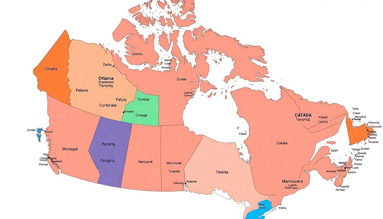
Features of the Current Political Canada Map
The current political Canada map showcases the nation’s provinces and territories, highlighting their unique attributes and political dynamics.
Provinces and Territories
Provinces and territories form the backbone of Canada’s political structure. Each of the ten provinces—British Columbia, Alberta, Saskatchewan, Manitoba, Ontario, Quebec, New Brunswick, Nova Scotia, Prince Edward Island, and Newfoundland and Labrador—possesses its own electoral boundaries and governance systems. Three territories, Yukon, Northwest Territories, and Nunavut, exhibit a different political authority due to their unique administrative arrangements. Color coding represents each political party within these regions, facilitating quick identification of political strengths and divides. As populations shift, these boundaries adapt, reflecting demographic changes and ensuring fair representation.
Major Cities and Their Significance
Major cities serve as political hubs across Canada, showcasing regional diversity. Ottawa, the capital, plays a pivotal role in federal governance, housing Parliament and key governmental agencies. Toronto stands out as the largest city, impacting regional economics and cultural representation. Montreal, known for its distinct cultural heritage, influences political discourse in Quebec. Vancouver’s strategic location connects Canada to Asian markets, enhancing its economic importance. Each city contributes to the political landscape, driving discussions on policies and reflecting constituents’ needs. The presence of large urban centers often shapes party strategies and electoral outcomes, underscoring their influence within the political map.
Regional Political Dynamics
Canada’s political landscape reflects diverse regional dynamics influenced by cultural, economic, and historical factors.
Key Political Parties
Parties like the Liberal Party, Conservative Party, and New Democratic Party (NDP) shape the political field in Canada. The Liberal Party often draws support in urban regions, focusing on progressive policies aimed at social welfare. Conservative Party traditionally appeals to rural voters, emphasizing fiscal responsibility and smaller government. The NDP tends to resonate with constituents in regions such as British Columbia and Ontario, advocating for workers’ rights and environmental issues. Additionally, regional parties, like the Bloc Québécois in Quebec, highlight the significance of provincial identities in national politics.
Voting Patterns and Trends
Voting patterns in Canada reveal distinctive preferences among regions. Major electoral shifts frequently occur during federal elections, reflecting changing public sentiment. Analysis of 2021 data shows an increase in support for the Liberal Party in urban areas, while the Conservative Party gained traction in the West. Regions like Quebec showcase strong loyalty to the Bloc Québécois, showcasing unique political identities. Historically, voter turnout rates fluctuate, with higher participation often seen in major cities during federal elections. Understanding these trends is key to interpreting the political map and predicting future electoral outcomes.
Conclusion
Canada’s political map is a vivid representation of its diverse and evolving landscape. Each province and territory contributes unique characteristics that reflect the country’s rich cultural and historical tapestry. Understanding these political boundaries and the dynamics at play is essential for informed civic engagement.
The interplay of regional influences and party strengths shapes the political discourse, impacting everything from governance to electoral outcomes. As Canada continues to adapt to the changing needs of its citizens, the political map will remain a crucial tool for navigating this complex terrain. By recognizing the significance of these maps, individuals can better grasp the nuances of Canadian politics and their role within it.